- Have any questions?
- +61 3 9837 5203
- sales@slentech.com.au
Inertial Navigation Systems
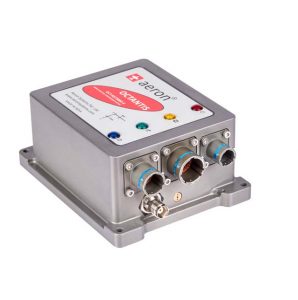
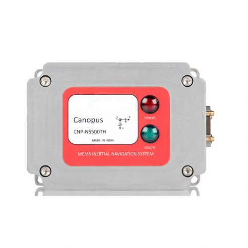
An Inertial Navigation System (INS) is a navigation aid that uses a computer, motion sensors (accelerometers), rotation sensors (gyroscopes) and occasionally magnetic sensors (magnetometers), to continuously calculate by dead reckoning the position, the orientation and the velocity (direction and speed of movement) of a moving object without the need for external references.
Inertial navigation is a self-contained navigation technique in which measurements provided by accelerometers and gyroscopes are used to track the position and orientation of an object relative to a known starting point, orientation and velocity. Inertial measurement units (IMUs) typically contain three orthogonal rate-gyroscopes and three orthogonal accelerometers, measuring angular velocity and linear acceleration respectively. By processing signals from these devices it is possible to track the position
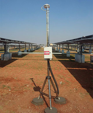
Inertial navigation is used in a wide range of applications including the navigation of aircraft, tactical and strategic missiles, spacecraft, submarines and ships. Recent advances in the construction of microelectromechanical systems (MEMS) have made it possible to manufacture small and light inertial navigation systems. These advances have widened the range of possible applications to include areas such as human and animal motion capture.